Italian photographer Carlo Pinasco recently launched an application, “Image Route 66,” for iPads, iTouches, and iPhones that contains more than 200 high-resolution images from a Route 66 road trip he took in May. With it, you can take a virtual trip down the Mother Road.
 But the most intriguing part of the app is each photograph is geo-referenced with global positioning. That way, if you’re interested in traveling to that Route 66 attraction, the app’s Google Maps plug-in will give you precise directions from your location if you’re connected to the Internet.
The turn-by-turn directions won’t always be on Route 66. And but with GPS coordinates, those directions almost certainly will be accurate.
The app requires an iOS operating system of 3.2 or higher. It contains a hefty 48 megabytes, so older iPhones or iPod Touches might crash more while using it.
“Image Route 66” goes for 99 cents.
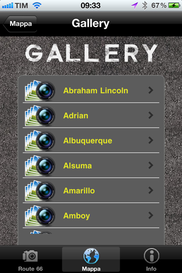
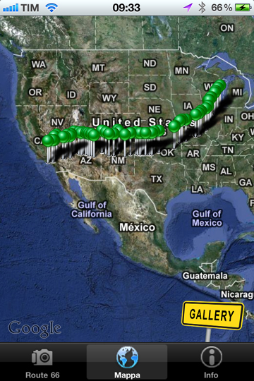
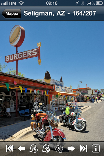
Here are a few screen shots of the app in operation:


Each photo also contains a link to a website about the Route 66 attraction. Pinasco seems to defer to the Legends of America site for this information.
The biggest drawback of the app is the omissions. More than 200 photos sounds like a lot. But Pinasco left off large chunks of Missouri and Oklahoma in the app, including POPS, Wagon Wheel Motel, Munger Moss Motel, Rock Cafe, and the Oklahoma Route 66 Museum.
So “Image Route 66” might be good in a pinch during your road trip or planning your journey, but don’t be surprised if you find out later that you missed something really good if you rely on it alone.
For now, the best Route 66 app for the iPhone and iTouch remains Kelly Ludwig’s “Road Trip 66,” which costs more at $3.99, but it’s much, much more inclusive of the Mother Road’s attractions. And Ludwig tells me she’s developing an app for the iPad as well.